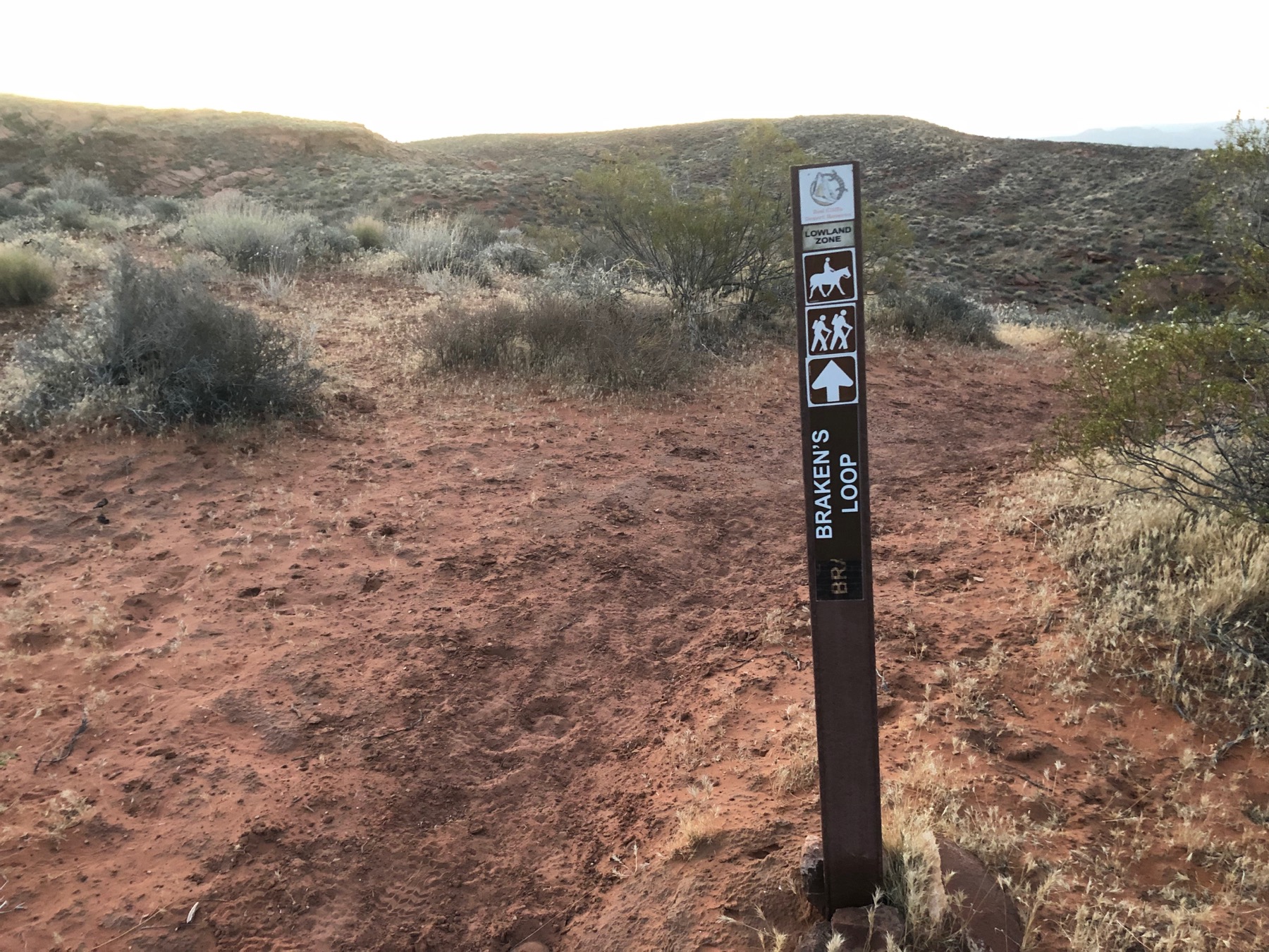
Braken's Loop Trail
A Gorgeously Sandy SlogBraken’s Loop Description
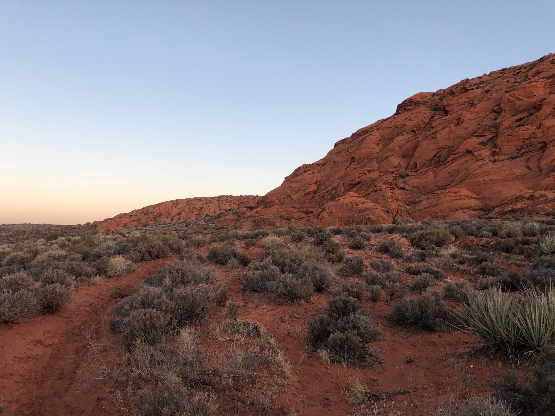
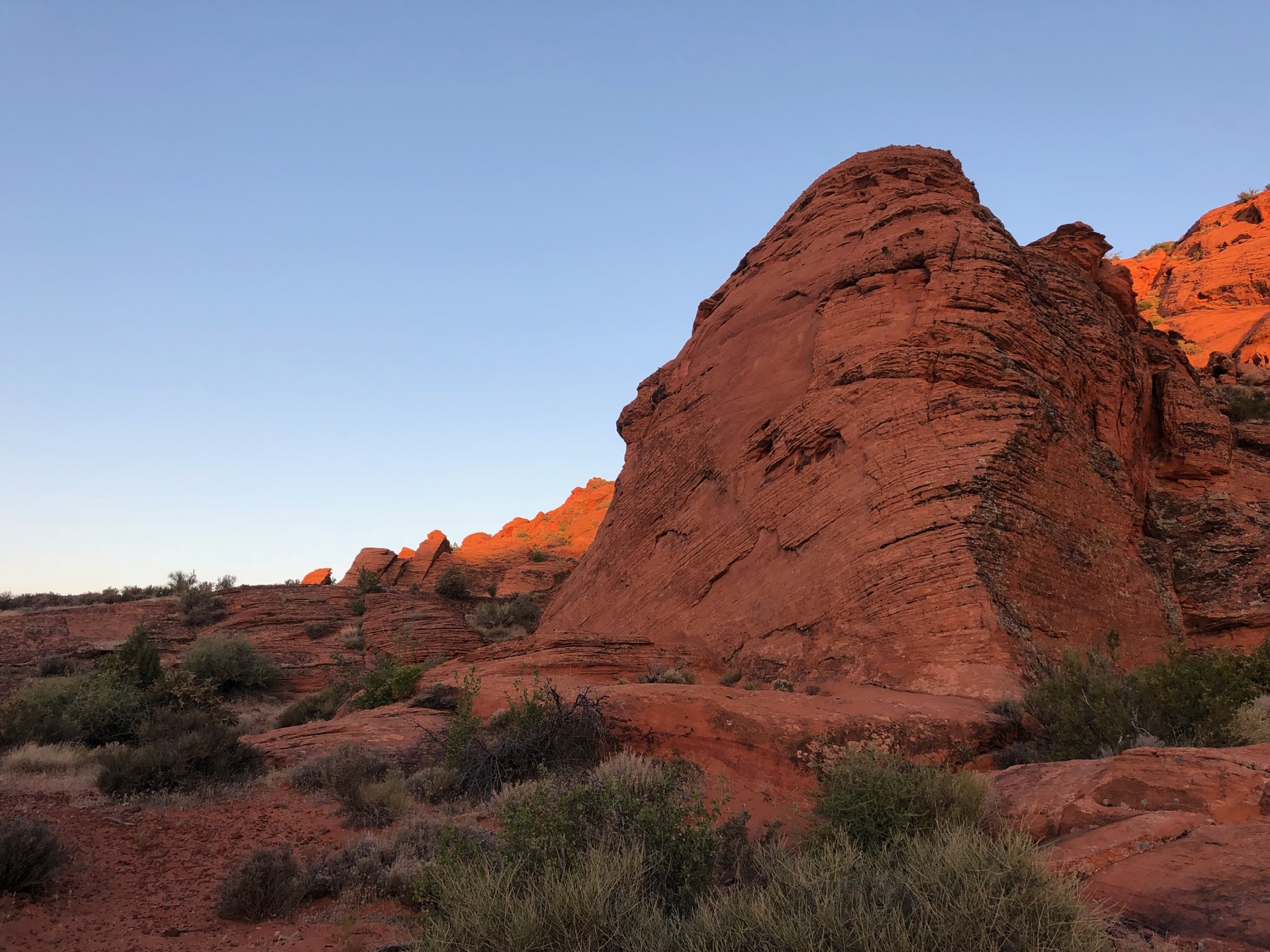
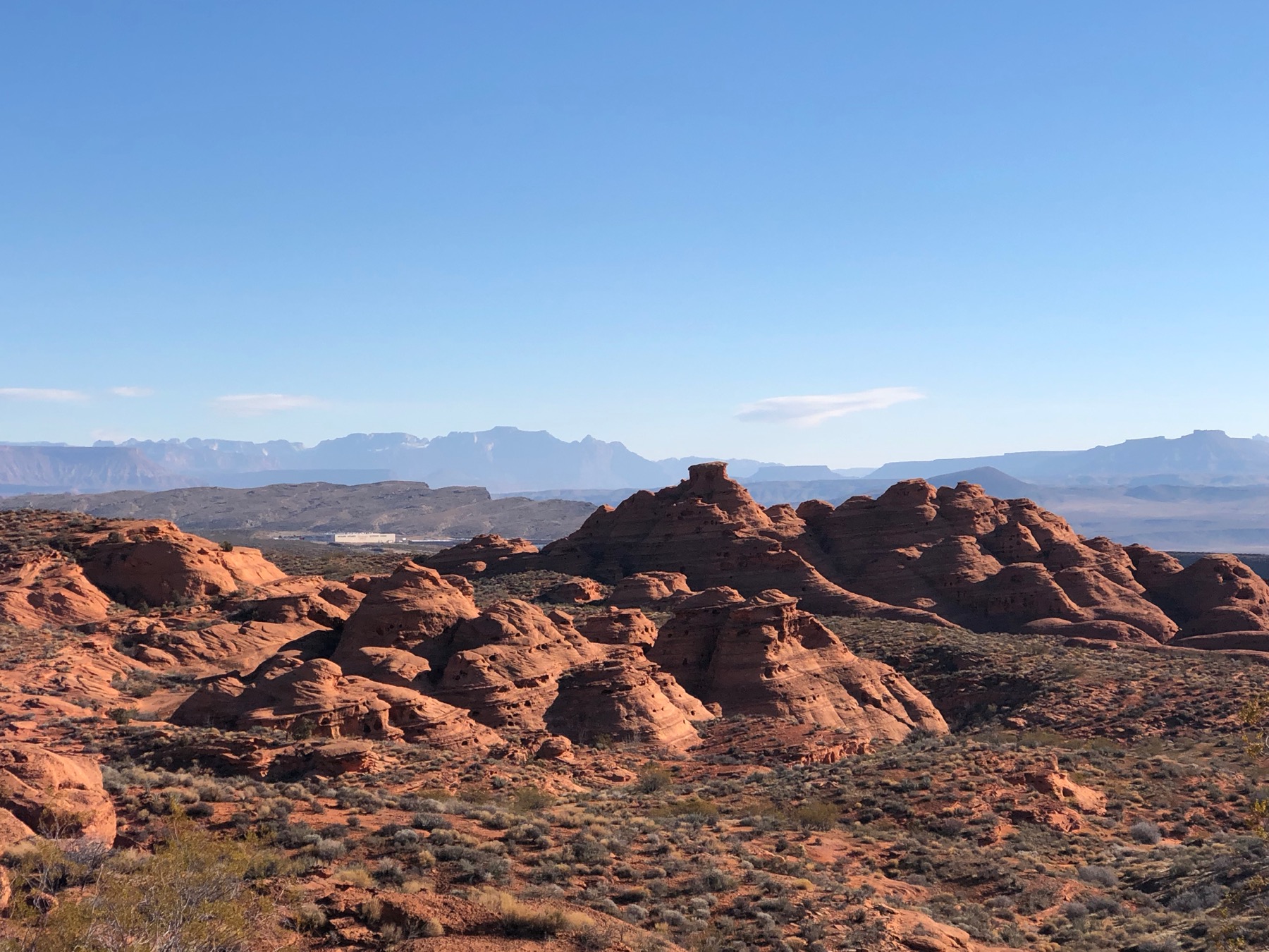
Braken’s Loop Trail a beautiful loop that takes you on an amazing tour of the Southern Utah landscape. The trail meanders through basalt cliffs, sandstone mountains and sandy washes. Much of the trail is sandy, so the best time to visit the loop is soon after a rain storm. When the trail is nice and wet it is much more runnable. The trail is popular with local horseback riders so it can be pretty rough, with lots of deep horse hoof prints. But the beauty of the trail makes up for the tough slog. The views of Pine Valley Mountain and St. George from this trail are well worth the effort.
Braken’s Loop from Grapevine Trailhead
The Grapevine Trailhead is very easily accessible being about 0.15 miles off the freeway (I-15) from the Washington Parkway exit (exit 13). The Grapevine trail heads up a dirt access road for the first mile. About 0.1 miles up the road you will pass under some trees and have a trail fence step over next to a locked access gate. Proceed through and up the rocky dirt road as it gains about 200 feet of vertical. At about the 1 mile point you will come to a split in the road/trail. Taking the trail to the right starts the loop in the counter clockwise direction. Continuing on the road/trail starts the clockwise loop
Braken’s Loop Clockwise
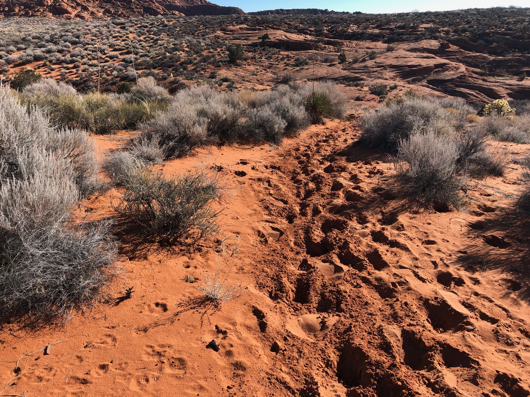
Continue to follow the Grapevine trail/road for another 0.8 miles then follow the trail to the right marked Braken’s Loop. The trail will proceed downhill toward a wash bed. Once in the wash the trail will head basically northward following the wash. The trail can be difficult to follow through this section. Keep your eyes open and you will see the trail leave and then rejoin the wash. At approximately 2.5 miles you will cross a dirt road.
The trail will curve left around the top of the Grapevine Trail, and then proceeds north again. Here you pass a basalt cliff to the north/west of the trail. For the next 0.5 miles the trail is primarily following the wash bed. between going through a wash and slick rock it can be easy to miss the trail. But the trail basically follows the wash so if you cannot find the trail, follow the wash to the North East.
Sandy Trails
Eventually the trail leaves the wash heading south east. The trail is pretty well defined for the next mile or so. During this section you will reach the highest point on the loop. At about 4 miles in the trail crosses some slick rock areas that can be a bit tougher to navigate. But there are several cairns to guide you across. The trail stays basically heading East and slightly south.
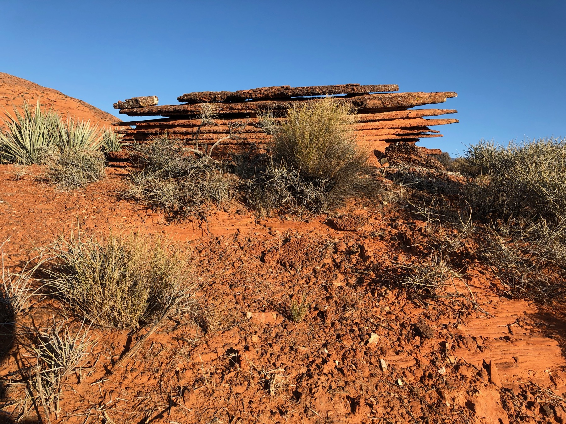
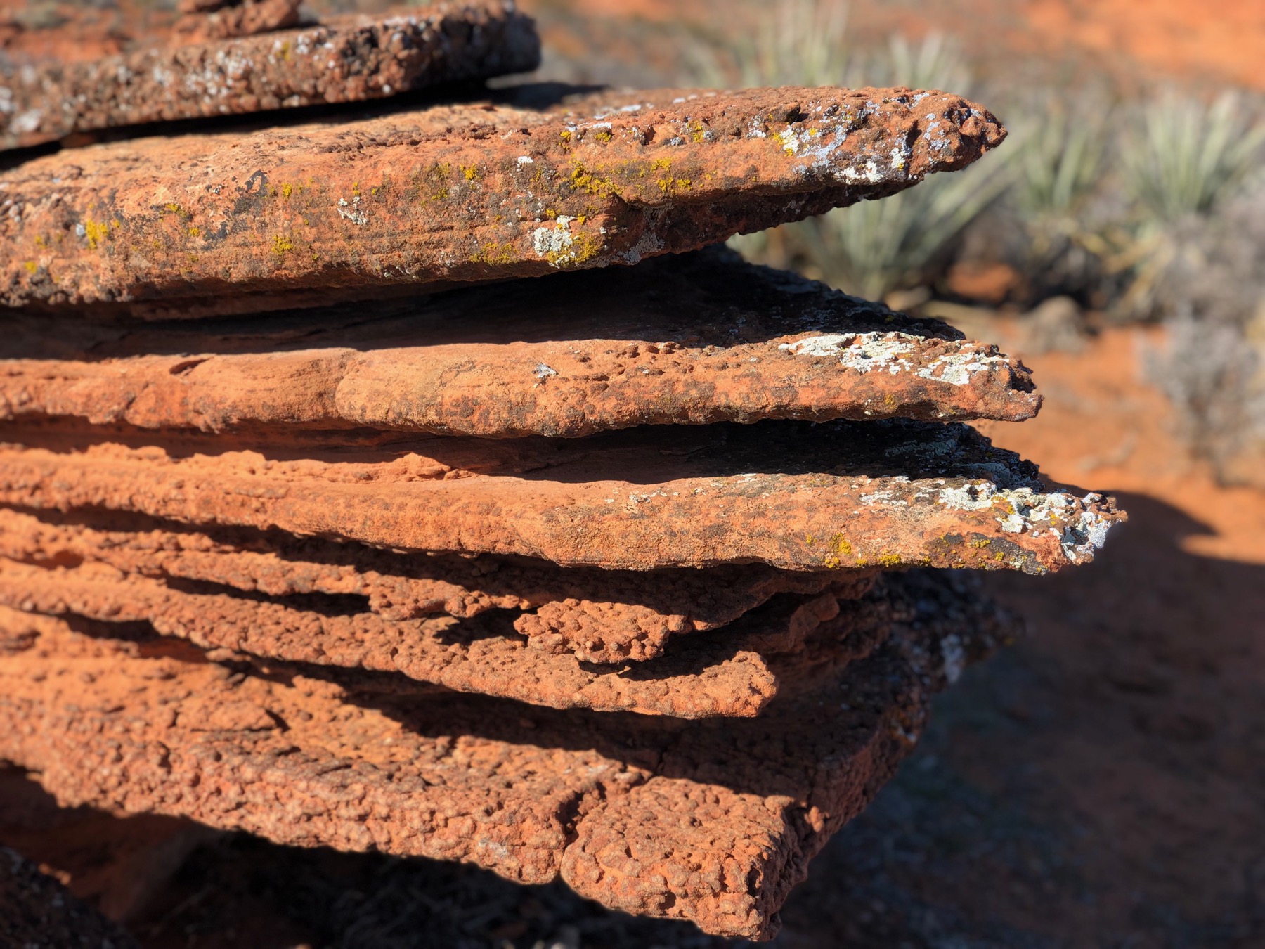
At about 4.2 miles the trail again continues through the sand with a well defined trail. It continues to hug close to the sandstone hills, and then turns away to the south. At about 4.6 miles in you will reach my favorite rock on the Brakens Loop trail. The stack of layered sandstone is quite a site. The trail continues to turn south, and then starts to aim back to the west. At this point (4.9 miles) in you have some great views of the Church Rocks Cathedral to the south.
The loop continues west for about another mile before descending into another wash and following it. The trail hops out of the wash a couple times until approximately 6.3 miles in where it exits the wash and proceeds south west up onto a ridge. Once at the top of the ridge you continue south on the trail for about a quarter mile before reaching a split in the trail. At the split you will turn right towards the west. This trail is the western end of the Prospector Trail. You will continue to follow this trail for about 0.5 miles before it reconnects with the Grapevine Trail/Road to complete your loop.
Braken’s Loop Counter Clockwise
Turning right off the road starts the western end of the Prospector Trail. Follow the trail for the next 0.4 miles. You will be at a crossroads at the top of a ridge. Looking to the East gives you a good overlook of the Church Rocks Trail area. As the sign here indicates turn left and proceed north. Another 0.5 miles up the trail you will enter a dry wash. Turn left as you enter the wash and follow it for about 0.3 miles. The trail will continue up the side of the wash, periodically dipping back into the sand. From this point on the trail will stay pretty sandy.
About another 0.5 miles in you will get some great views of the Church Rocks Cathedral to the south of the trail. The Trail continues to gain elevation as it loops around to the North. At approximately 3.5 miles in you will come to my favorite rock, bumpy layers of sandstone. The trail continues to be sandy and relatively easy to follow until about 3.9 miles in. At this point there is a good amount of slick rock but several cairns to follow. The trail follows a basically westerly direction across the slickrock. After about 0.3 miles you should be back on the sandy trail.
Struggling through the sand
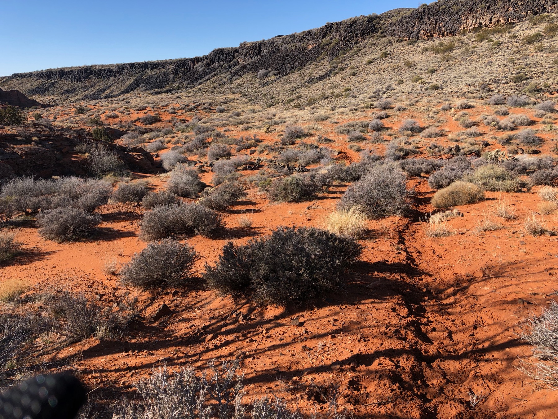
The trail continues to hug the side of the sandstone hills to the North East of the trail. About this point you will hit the highest point on the trail. At about 5 miles or so in the trail starts to get a little sketchy. between going through a wash and slick rock it can be easy to miss the trail. But the trail basically follows the wash so if you cannot find the trail, follow the wash to the West. At 5.5 miles you will approach the gates of Mordor. This is just a basalt cliff face, but pretty cool looking. Another 0.1 miles past the Gates of Mordor the trail splits, follow the left fork to stay on the Braken’s Loop trail. If you are tired of the sand, the right fork takes you to the northern end of the Grapevine Trail.
The trail then follows a southern heading for the rest of the loop. For the next 0.7 miles the trail is primarily following the wash bed. Again this part can be tricky to follow the trail since a lot of it is meandering in the sand. Eventually you will exit the wash heading south west at about mile 6.3. Then it is a short 0.2 miles to get back up on to the Grapevine Trail. Once back on the Grapevine Trail you will turn left and head south on the road. It is about another 1.7 miles from that point back to the trailhead.
Braken’s Loop Details
- Type: Loop
- Loop Distance: 6.49 mi/10.44 km
- Trail Distance: from 8.29 mi/13.34 km
- Difficulty: Moderate
- Elevation: 3068 – 3623 ft/935 – 1104 m
- Google Maps Link to Grapevine Trailhead: Click Here
Strava Route(s)
Braken’s Loop Counter-Clockwise from Grapevine Trailhead Route
| Est. Moving Time | Distance | Elevation Gain |
|---|---|---|
| 01:19:00 | 8.29 | 894.36 |
| hours | mi. | ft. |
")
Braken’s Loop Clockwise from Grapevine Trailhead Route
| Est. Moving Time | Distance | Elevation Gain |
|---|---|---|
| 01:18:56 | 8.18 | 1,080.99 |
| hours | mi. | ft. |
Braken’s Loop Trail Gallery
Sandstone Cliffs of Braken’s Loop
Sunrise on Braken’s Loop
Heading Down Braken’s Loop Trail
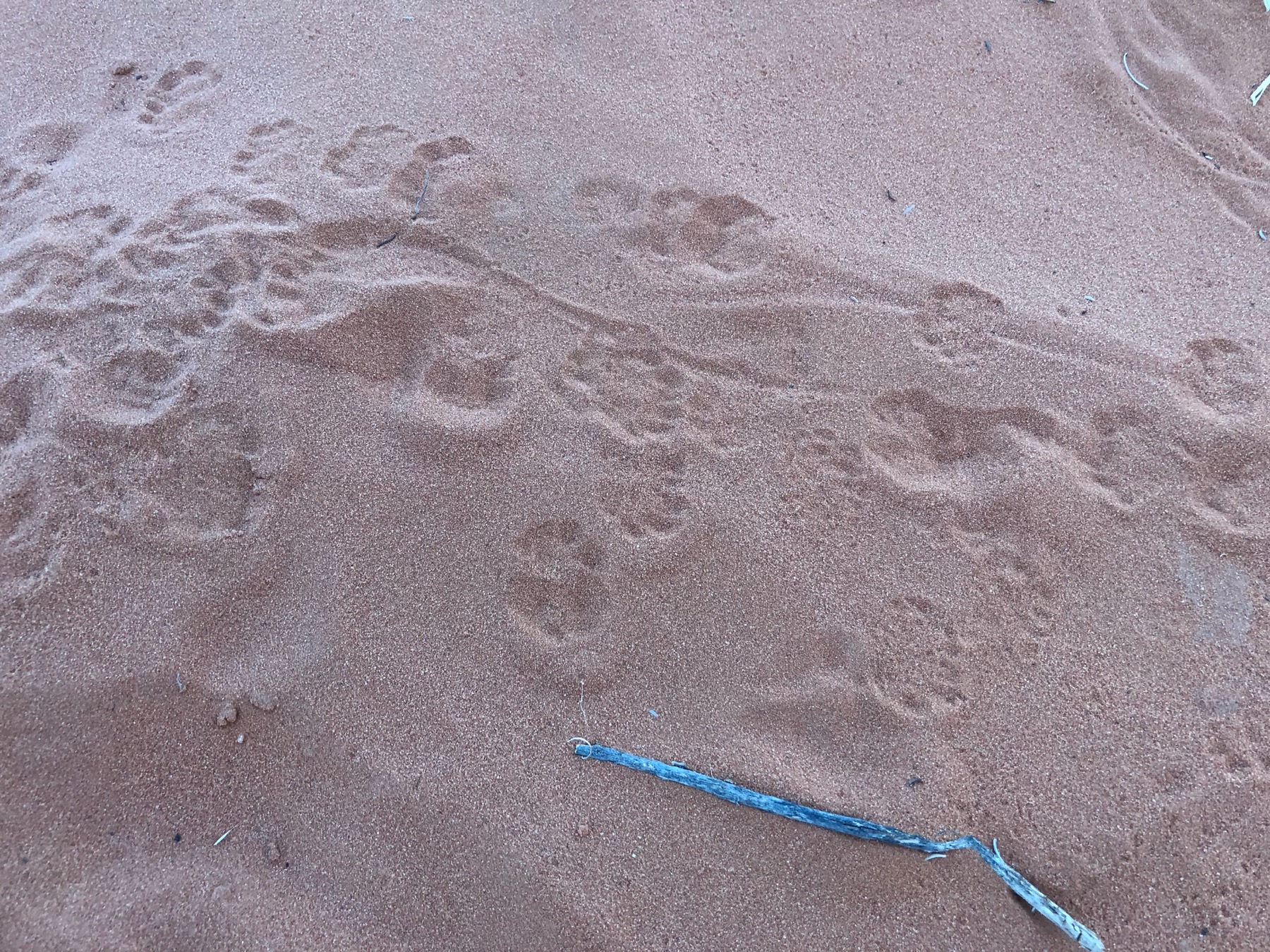
Gecko Prints in the sand
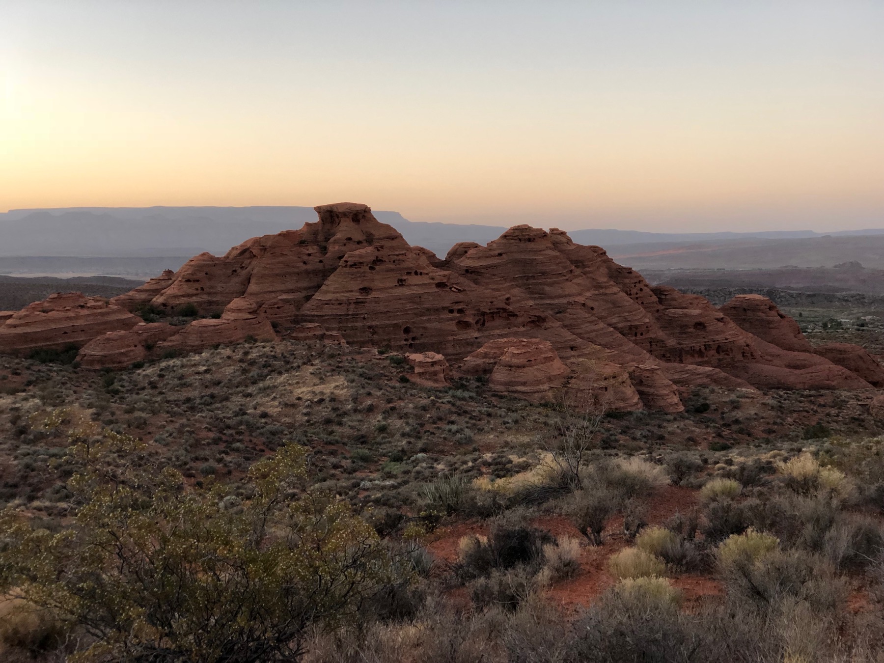
The Church Rocks Cathedral
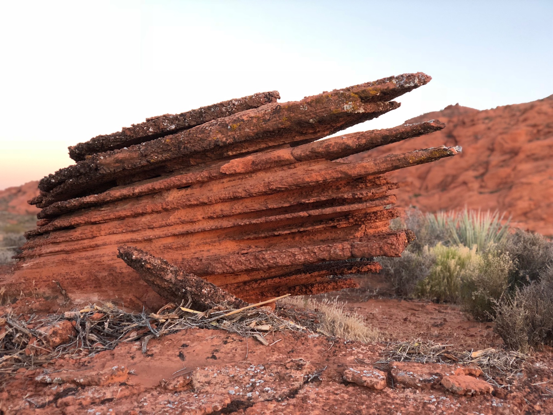
My Favorite Rock
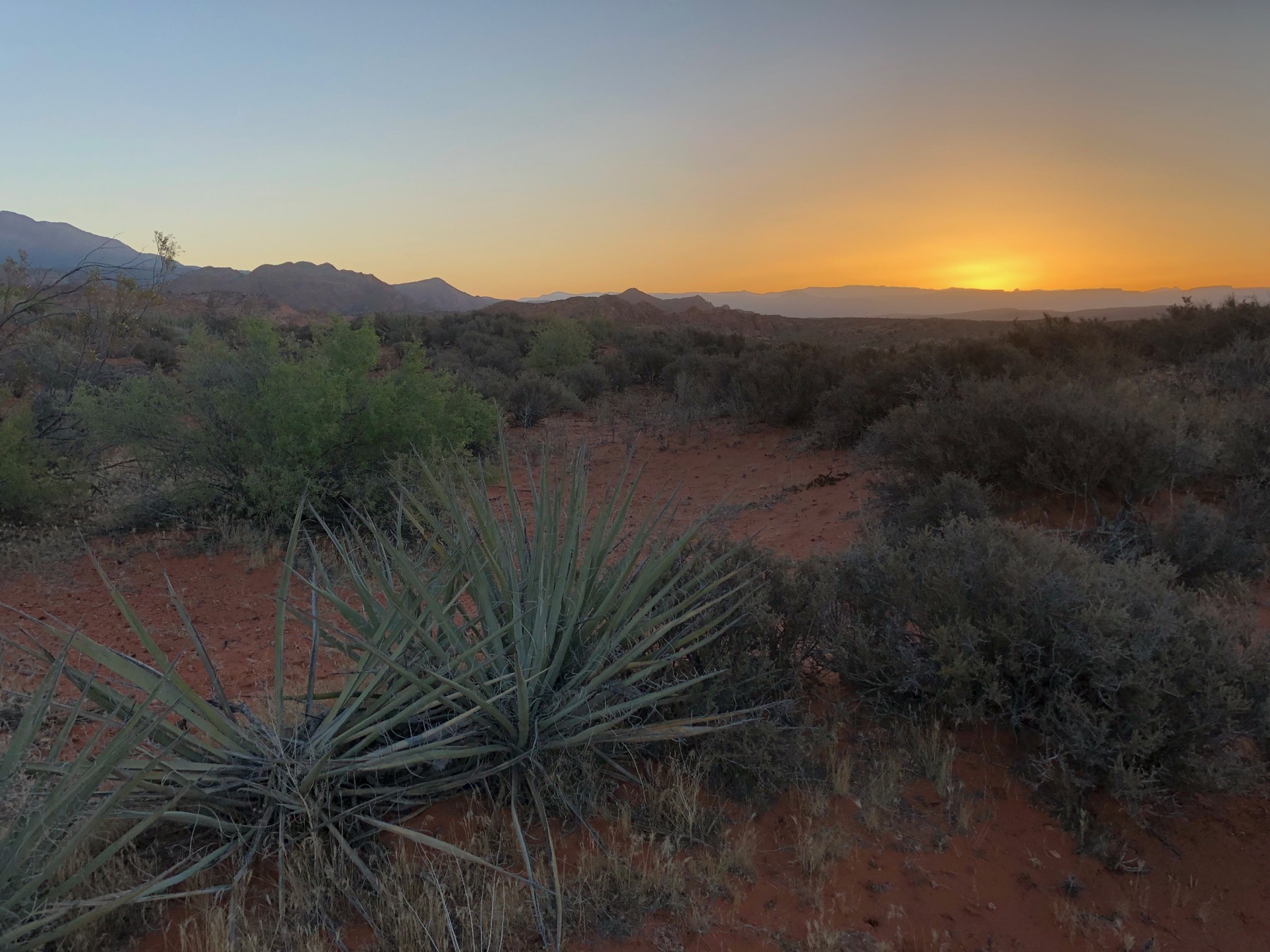
Here Comes the Sun
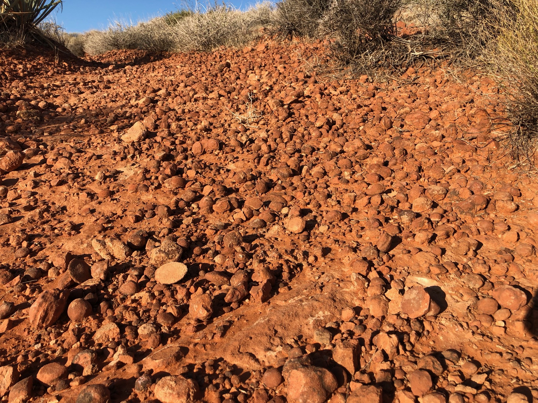
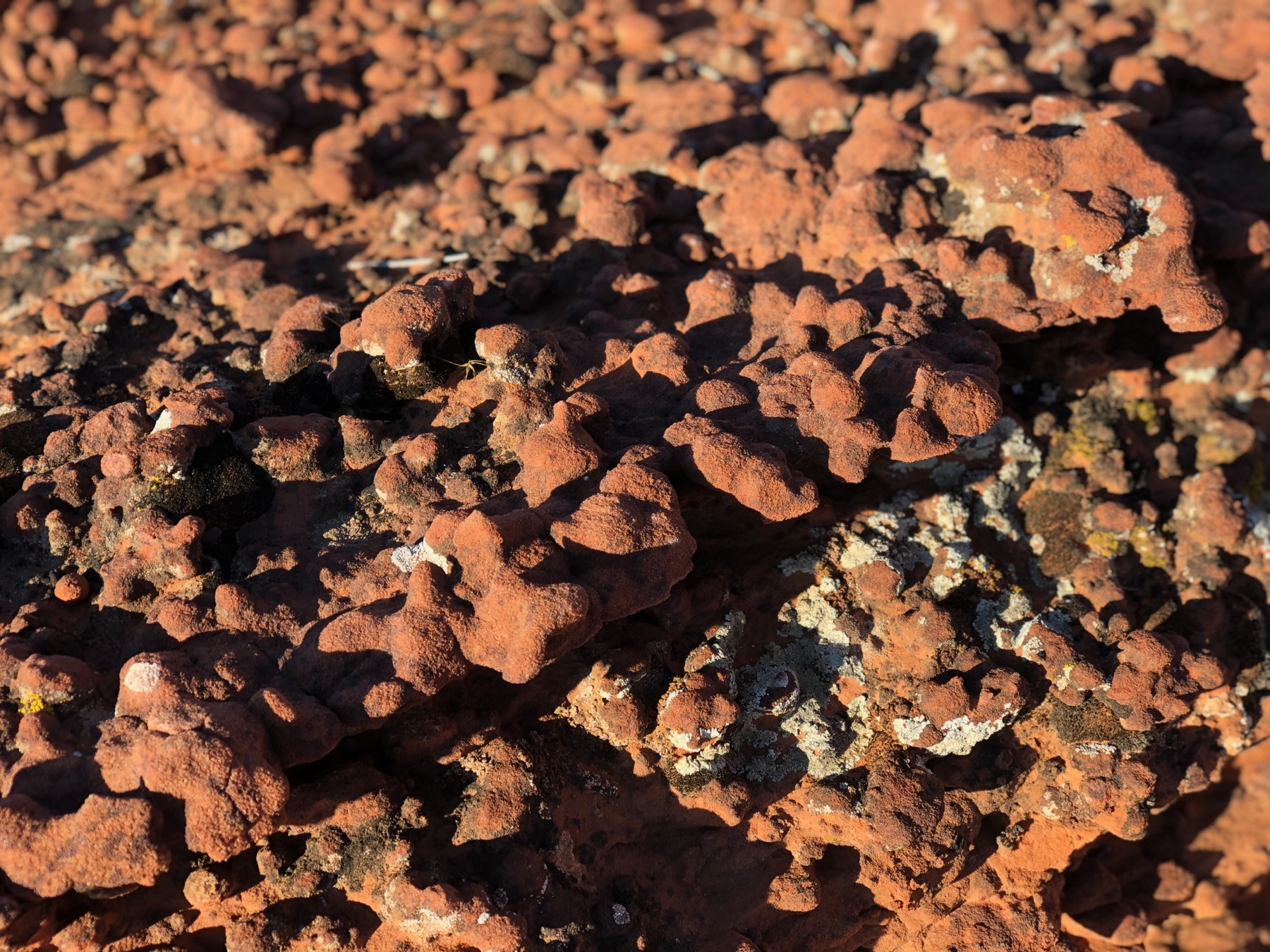
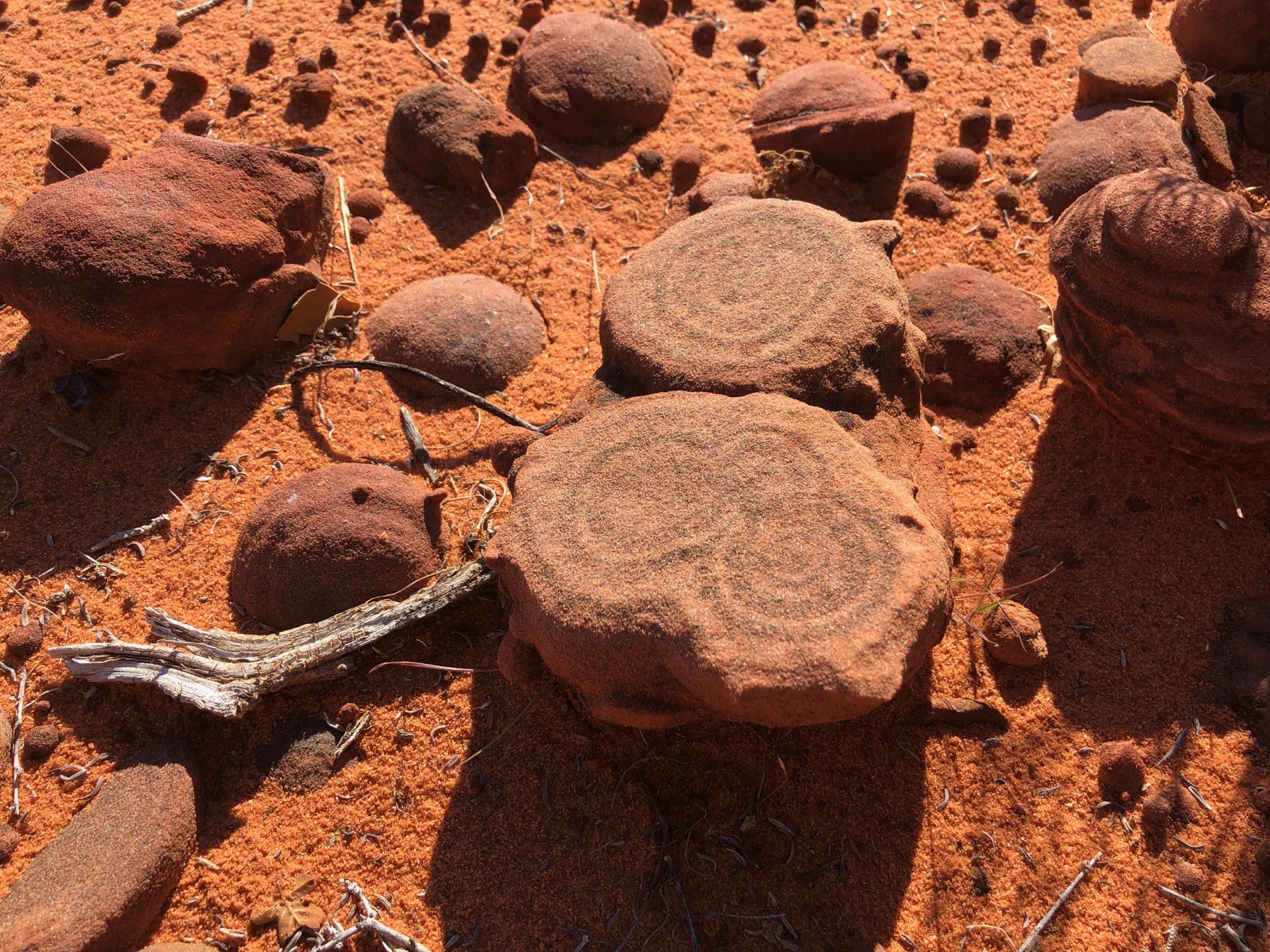
Lots of Indian Marbles
Seeing through the layers
Look at that Beautiful Sand
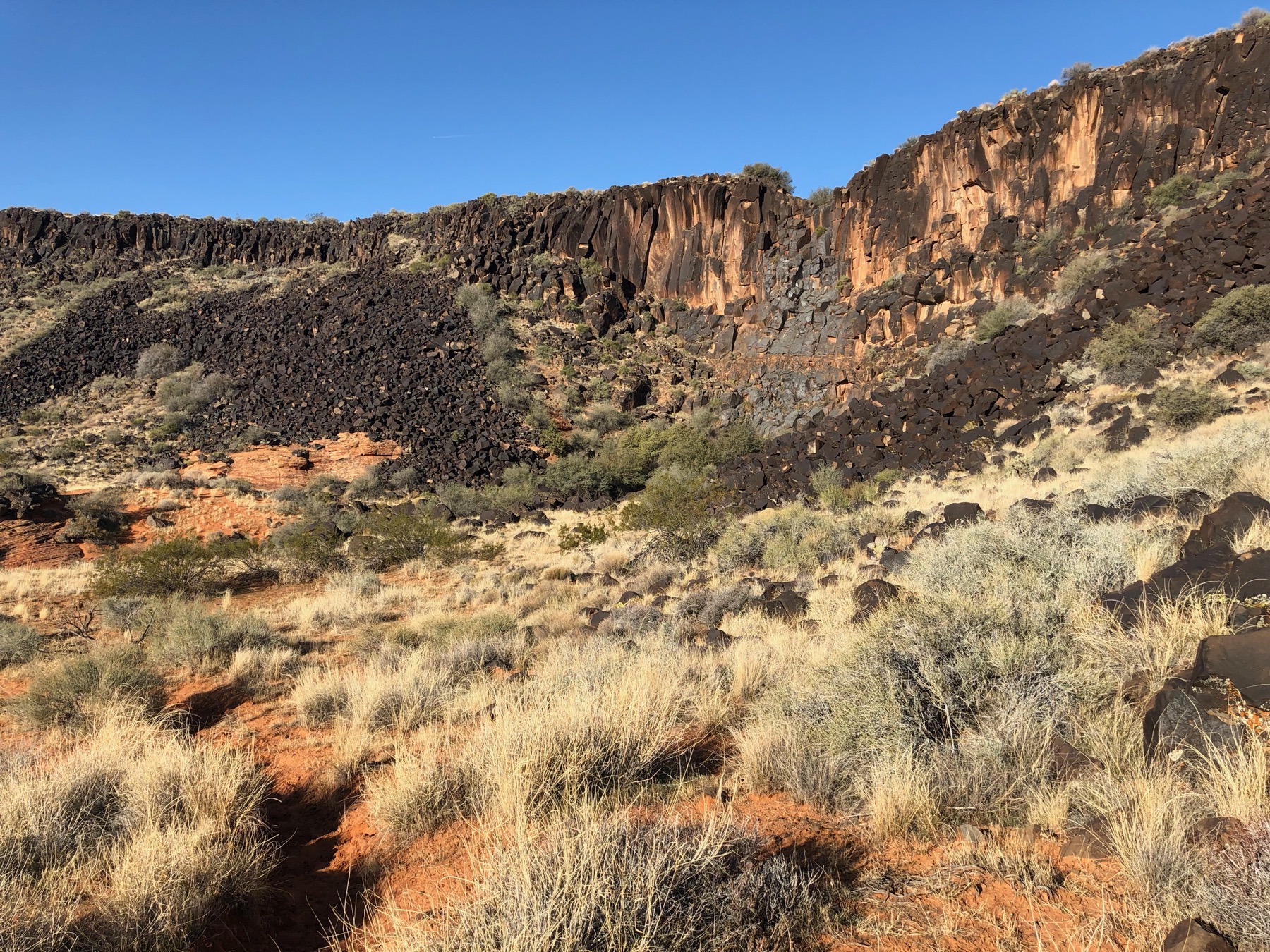
The Black Gate
Rings Inside the Sandstone
Sandy Goodness
More Sand
Beautiful Sandstone Layers
The Cathedral
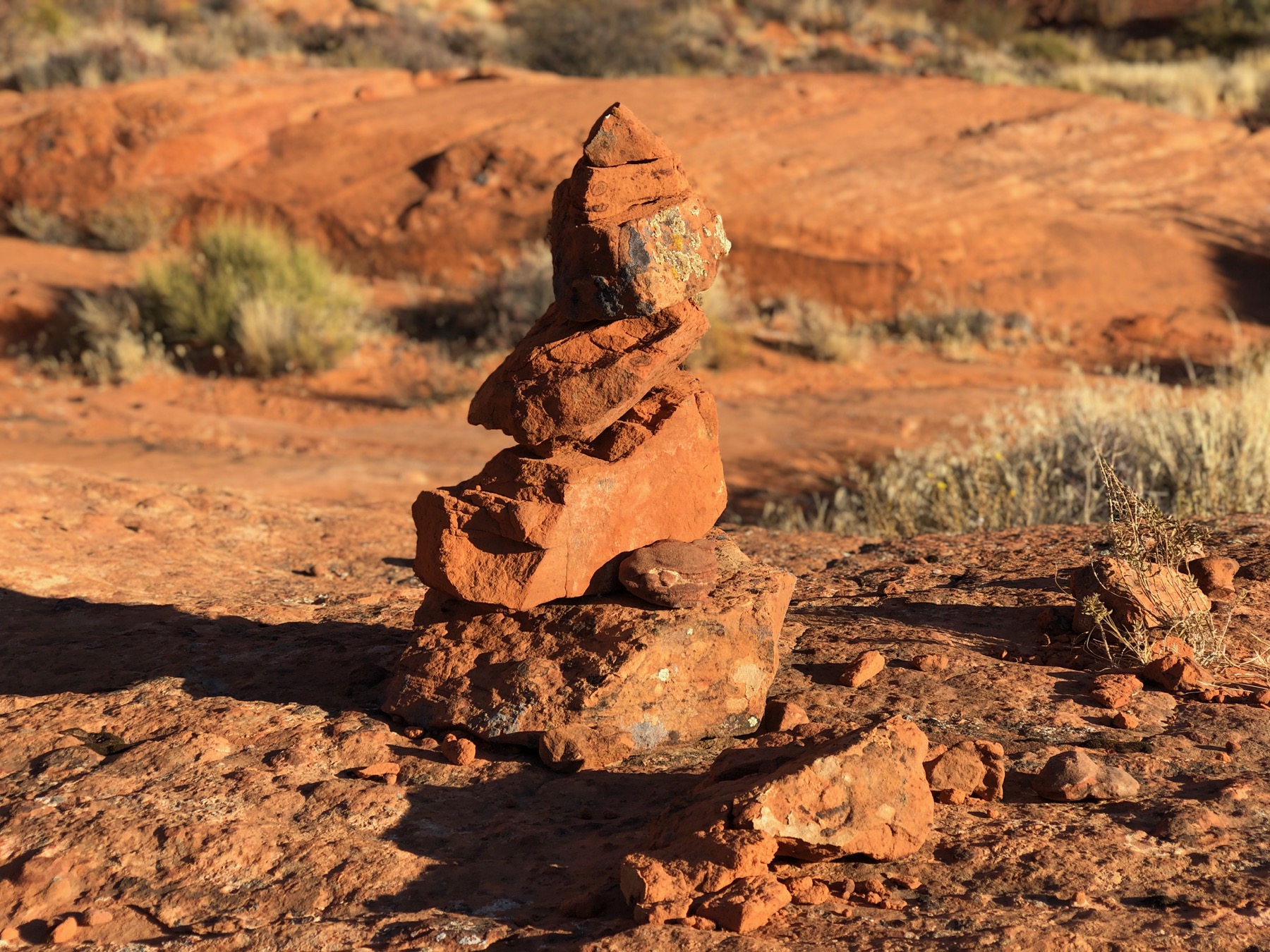
A Cairn to Guid the Way
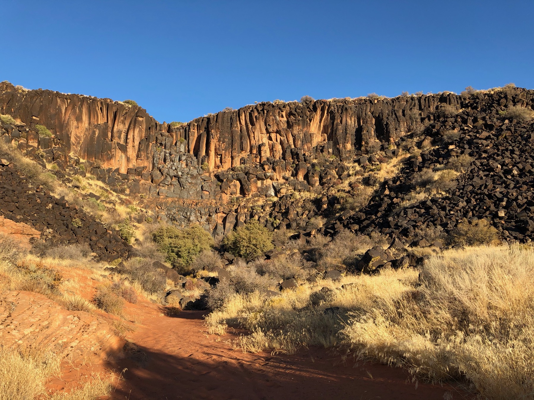
The Black Gate Again
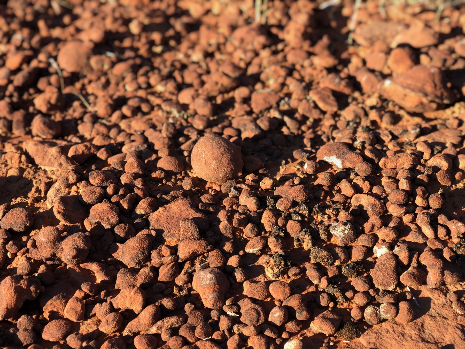
More Indian Marbles