Dino Cliffs
Running With Dinosaurs...Trail Description
The Dino Cliffs Trail is an easy and delightful adventure through beautiful red rock country. It gets its name from a number of red sandstone formations that bear the appearance of different dinosaur heads. This trail is a nice easy trail that can be easily traversed by the novice trail runner as well and be a delightful run for the experienced. The trail has approximately 400-470ft of elevation gain depending on the route you follow.
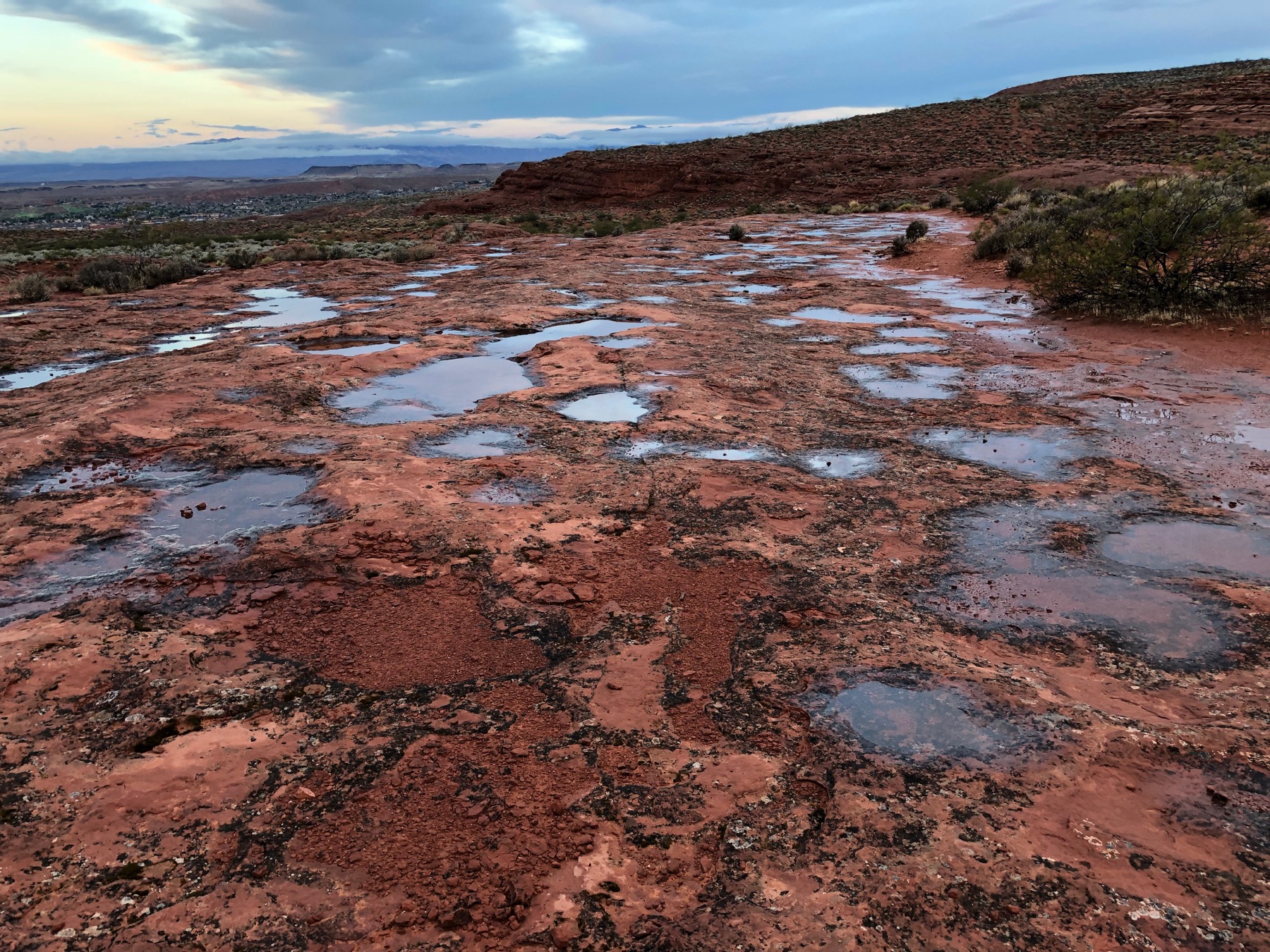
Both Routes start at the Grapevine Trailhead. Heading North East from the parking area up the rocky dirt road you will come to a fence/gate with a crossover after just 0.1 miles. After crossing the fence you will continue up the road for approximately the next mile. For the next half mile or so you will have an average of a 5-6% grade and gain about 200 feet of elevation. At about 0.9 miles you will come to a fork in the road, bear left to stay on the Dino Cliffs route, The other side of the fork heads over to the Prospector and Church Rocks trails. At just over the 1 mile mark you should come to a Dino Cliffs trail marker on the left hand side of the road defining a single track trail that takes off to the left, follow that trail as it turns west. The trail then proceeds across the rocky sandstone shelf and winds in and out of small gullies for the next 0.7 miles. The trail is fairly well defined, but can sometimes be a little tough to follow as it crosses some stretches of sandstone.
At the 1.7 mile mark you will be approaching a sandstone ridge, there is typically a cairn which identifies the location that you will turn left and proceed down off the rock you are on to follow the trail which runs along the base on the cliff/ridge. This trail winds around a bit but is pretty easy to follow. At about 2.1 miles you should have the best Dino Head right in front of you and the others lined up along the north ridge. This is a great photo spot. The trail continues to wind along until about the 2.2 mile point where there should be a trail marker and a quick turn left down the ridge, don’t miss the turn. As you race down the hill you will come to another trail marker and a fork in the trail at about the 2.3 mile mark. For the official route bear to the Right, and for the 5k route bear to the Left, there is a sign that indicates this is “not a trail” but we are going to ignore that marker to get the 5k distance.
5k Route
The trail continues straight ahead after the fork and after about another 0.1 miles you will come to a fence that has been bent down for crossing (at this point if you head about 20-30 feet to your right you will see an old pioneer cistern made of sandstone). After crossing the fence turn left and follow the dirt road, it will wind around and follow the ridge taking you back to the trailhead. It will gain some elevation and then at 2.7 miles has a steep short decline followed by a left turn in the road. There are several other dirt roads that take off from the road but continue to follow the main road and it will take you back to the trailhead, giving you your Dino Cliffs 5k.
Full Route
After the fork the trail continues to wrap around the red cliffs and at about 2.7 miles turns into a very sandy trail that heads up a significant incline, which is about 0.1 to 0.2 miles long gaining approximately 100 feet of elevation. At the top of the hill you will come to another fence and crossover, continuing straight through will bring you to a dirt road which provides access to the water tanks. Turn left and follow the road downhill. At about the 3.2 mile mark you will see a sandy road which takes off to the left, there are no trail markers (if you miss it don’t worry there is another well defined road which leads to the same place shortly thereafter) this road heads basically straight ahead for the next 0.2 miles before merging with another better road. At that next road you will take another left and proceed to follow it straight ahead for the next 0.6 miles at which time you should be back at the trailhead.
Trail Details
- Type: Loop
- Distance: 3.12-4.04 mi/5-6.5 km
- Difficulty: Easy
- Elevation: 3063 ft/933 m
- Google Maps Link to Trailhead: Click Here
Strava Route(s)
Dino Cliffs Trail Route
| Est. Moving Time | Distance | Elevation Gain |
|---|---|---|
| 00:50:34 | 4.04 | 478.06 |
| hours | mi. | ft. |

Dino Cliffs 5k Route
| Est. Moving Time | Distance | Elevation Gain |
|---|---|---|
| 00:41:59 | 3.13 | 410.64 |
| hours | mi. | ft. |
Trail Gallery