Grapevine Trail
Single Track SweetnessGrapevine Trail Description
The Grapevine trail is straight forward and easy to follow. The trail gets its name from the wild grapes which grow near the trailhead. The trail ends at wells which supply Washington City with some of their culinary water supply. Grapevine is basically the single track dirt road that the city uses to access and maintain the wells. So navigation is relatively simple. This trail is a favorite of ours because of the easy access from the freeway.
Heading North East from the parking area up the rocky dirt road you will come to a fence/gate with a crossover after just 0.1 miles. After crossing the fence you will continue up the road for approximately the next mile. For the next half mile or so you will have an average of a 5-6% grade and gain about 200 feet of elevation. At about 0.9 miles you will come to a fork in the road, bear left to stay on the Grapevine route, The other side of the fork heads over to the Prospector and Church Rocks trails. At just over the 1 mile mark you should come to a Dino Cliffs trail marker on the left hand side of the road defining the Dino Cliffs single track trail that takes off to the left. Continue on the road to stay on the Grapevine Trail.
The Wells
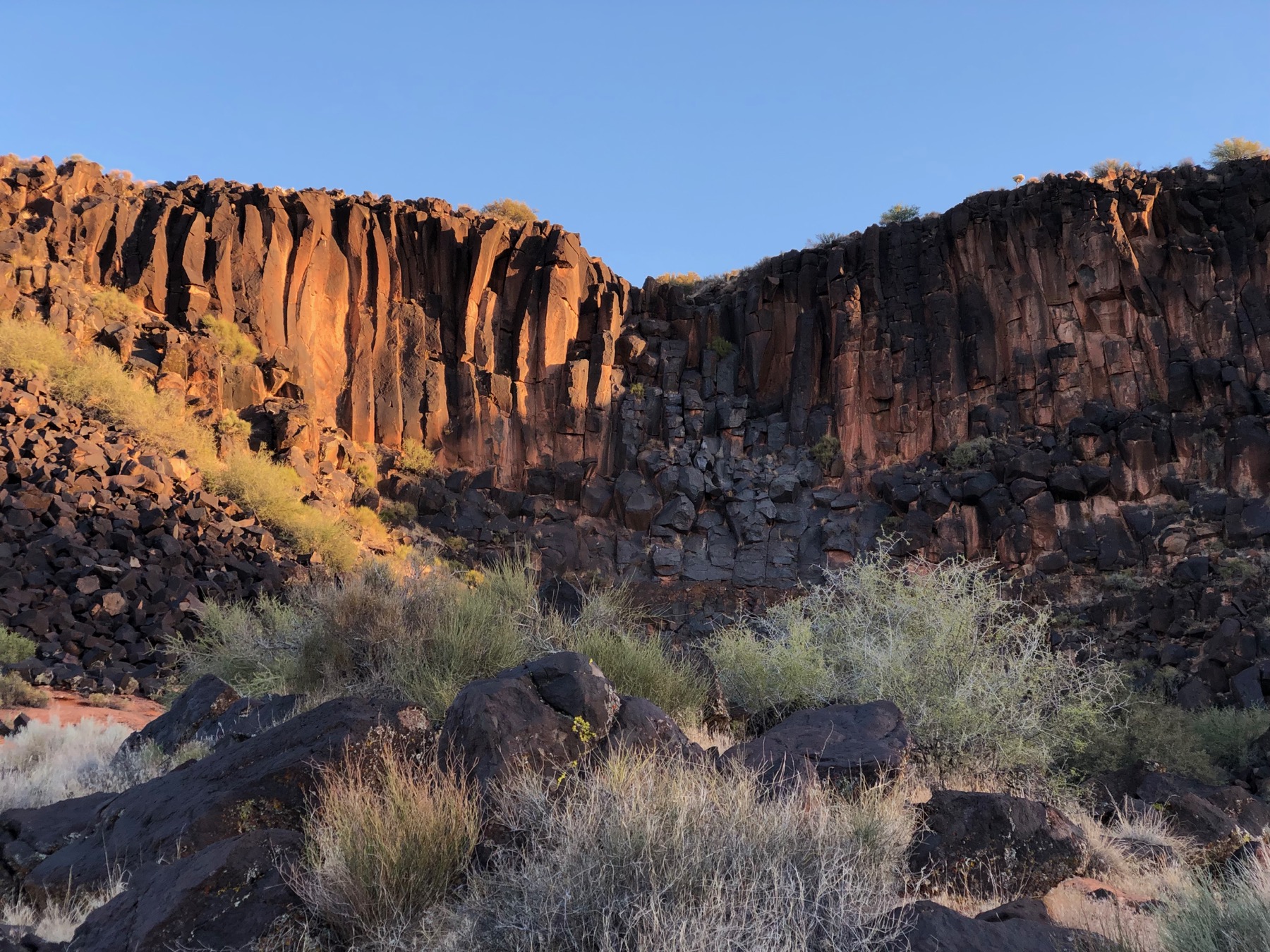
The road continues to gradually climb and meander up toward the wells. At approximately the 2 mile mark there is another single track trail that takes off to the east. This trail is called Sand Hill and as it’s name implies it is very sandy. About another 0.4 miles brings you to a fork in the road, there is a well at the end of each of those roads. The way we typically run it is to continue straight for another 0.1 miles to hit the first well head, and take a view of the black lava wall. After which we turn around and hit the second well. The out and back on the second well road adds approximately 0.8 miles for the full out and back.
Once you have reached the wells at the end of the Grapevine Trail you have a few miles of nice easy decent ahead of you. So take a nice easy gait and enjoy the downhill.
Trail Details
- Type: Out and Back
- Distance: 5.74 mi/9.24 km
- Difficulty: Easy
- Elevation: 3064-3550 ft/934-1082 m
- Google Maps Link to Trailhead: Click Here
Strava Route(s)
Grapevine Trail Route
| Est. Moving Time | Distance | Elevation Gain |
|---|---|---|
| 01:02:39 | 5.75 | 545.32 |
| hours | mi. | ft. |

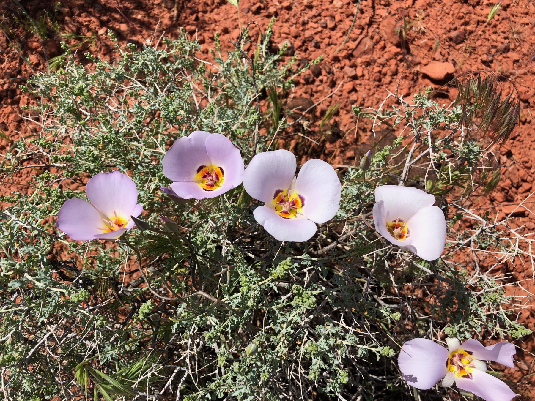
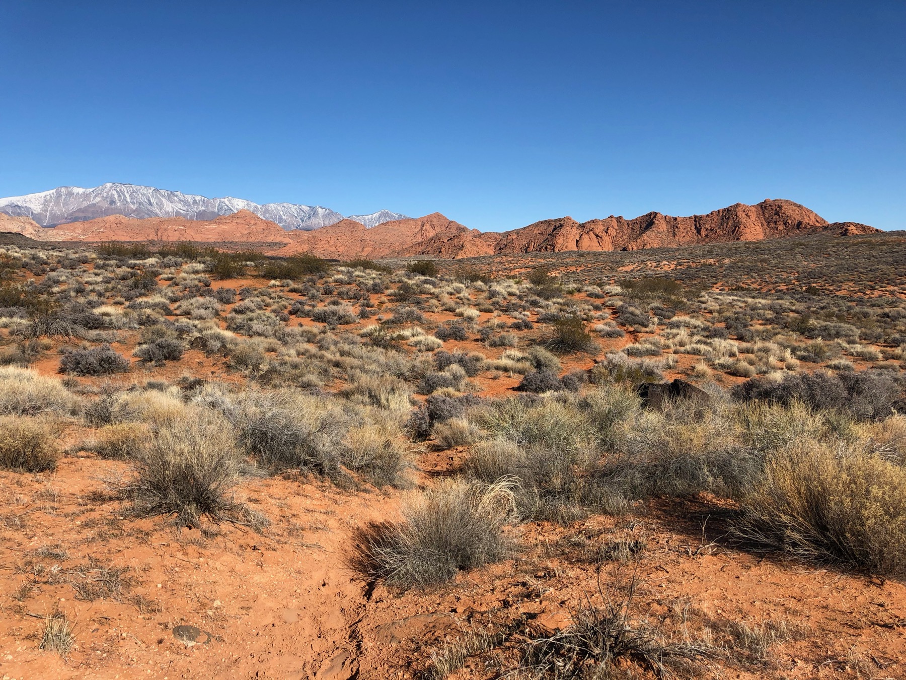
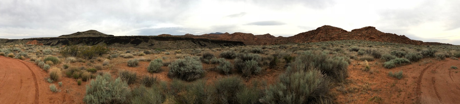
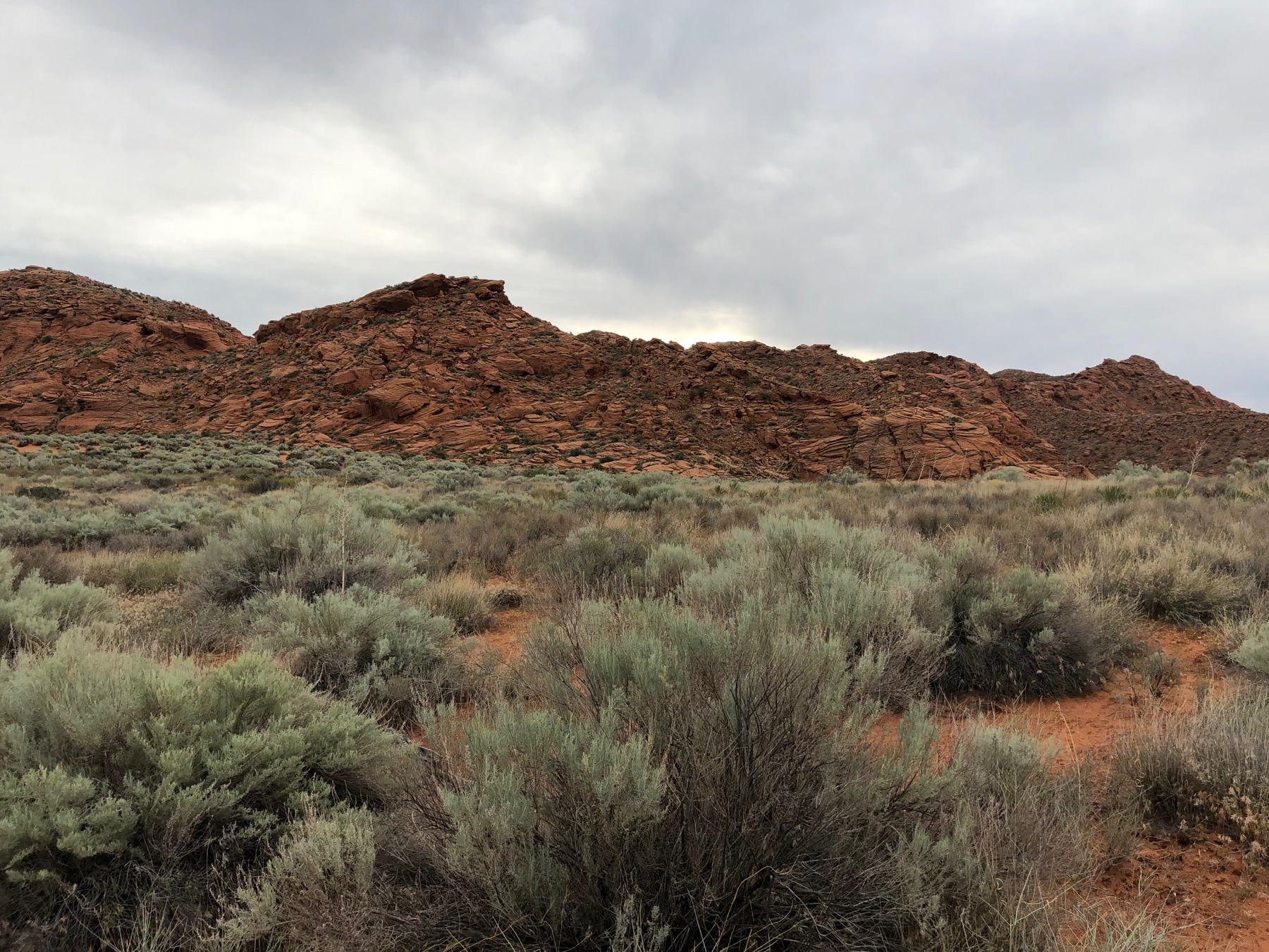
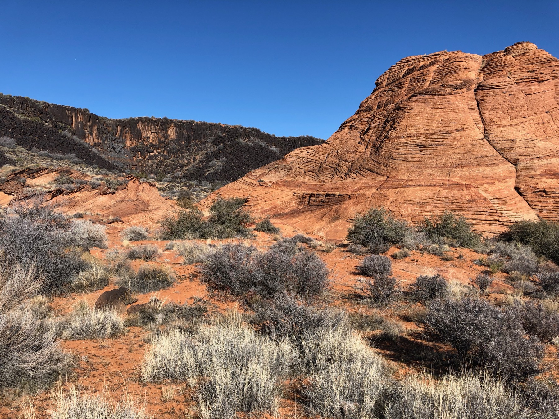
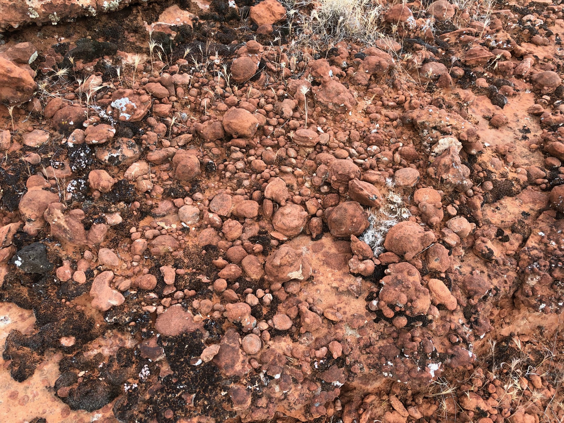
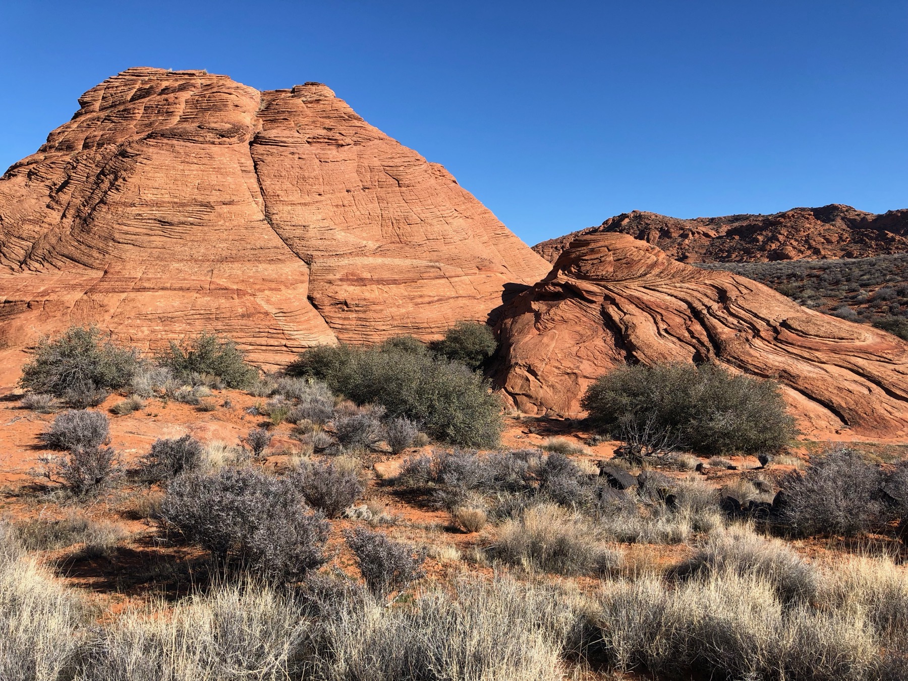
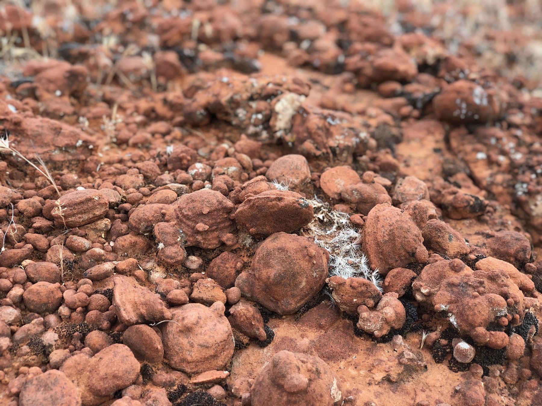
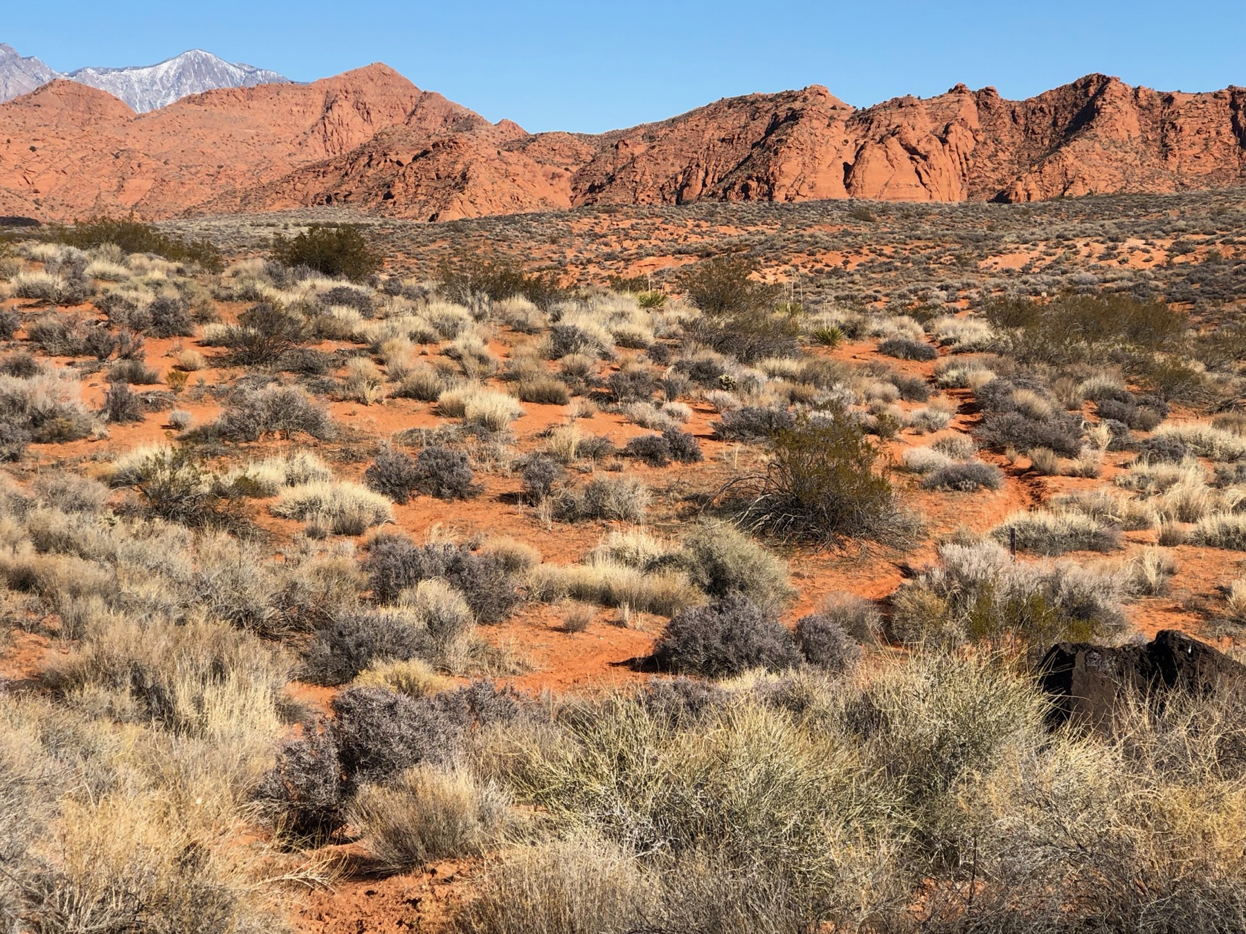
Trail Gallery