Highland Loop
Getting High all in a loop...Trail Description
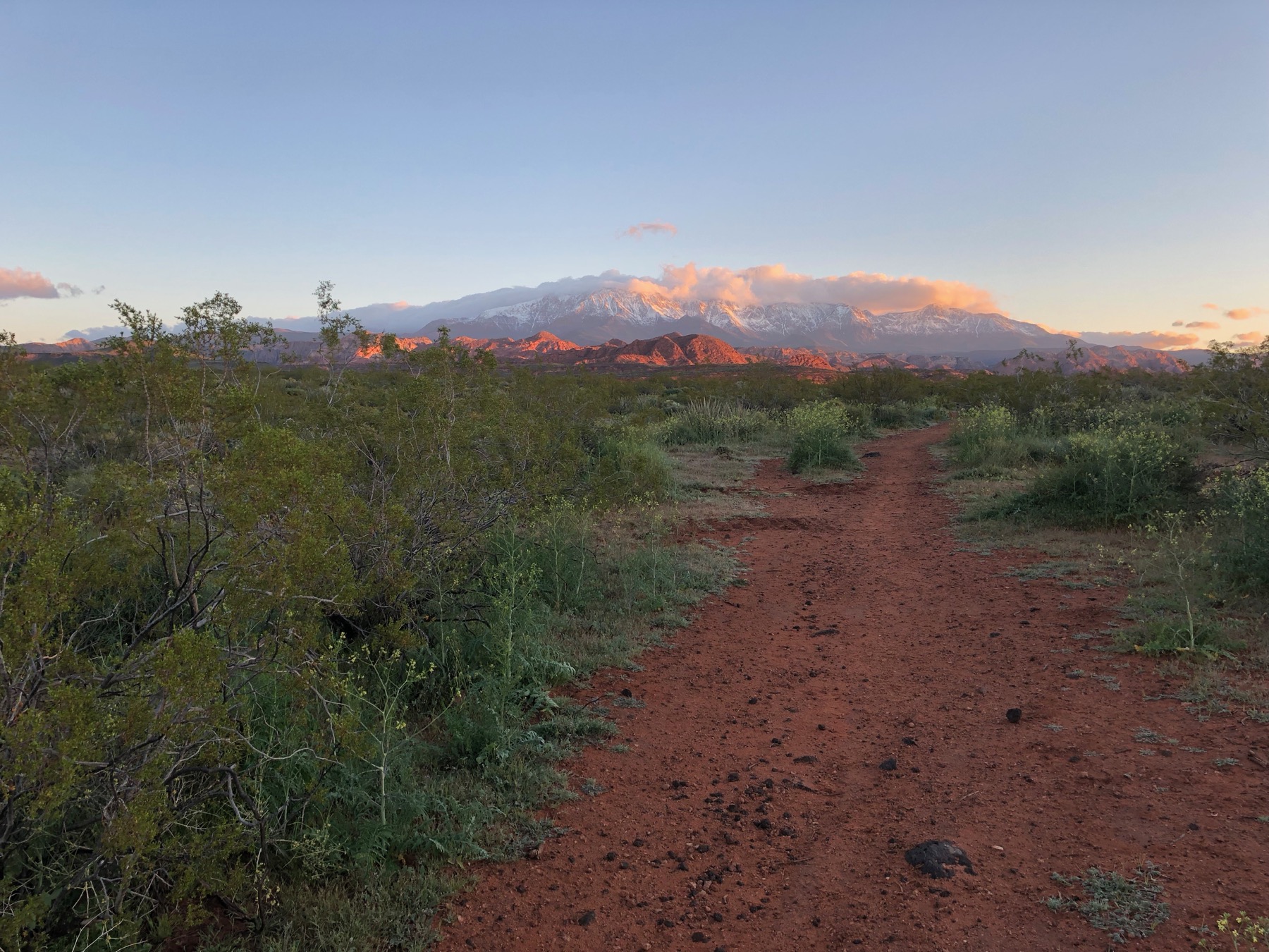
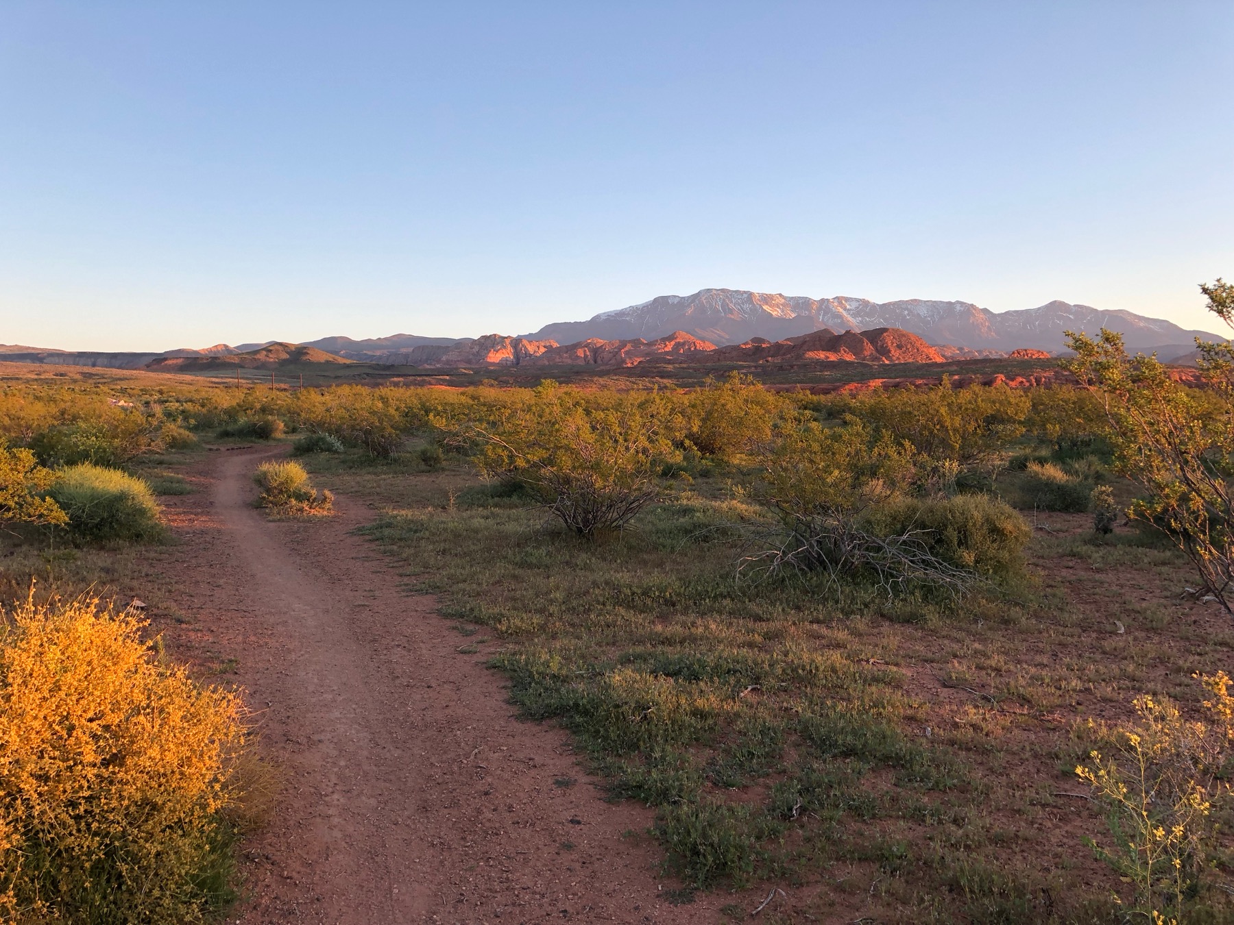
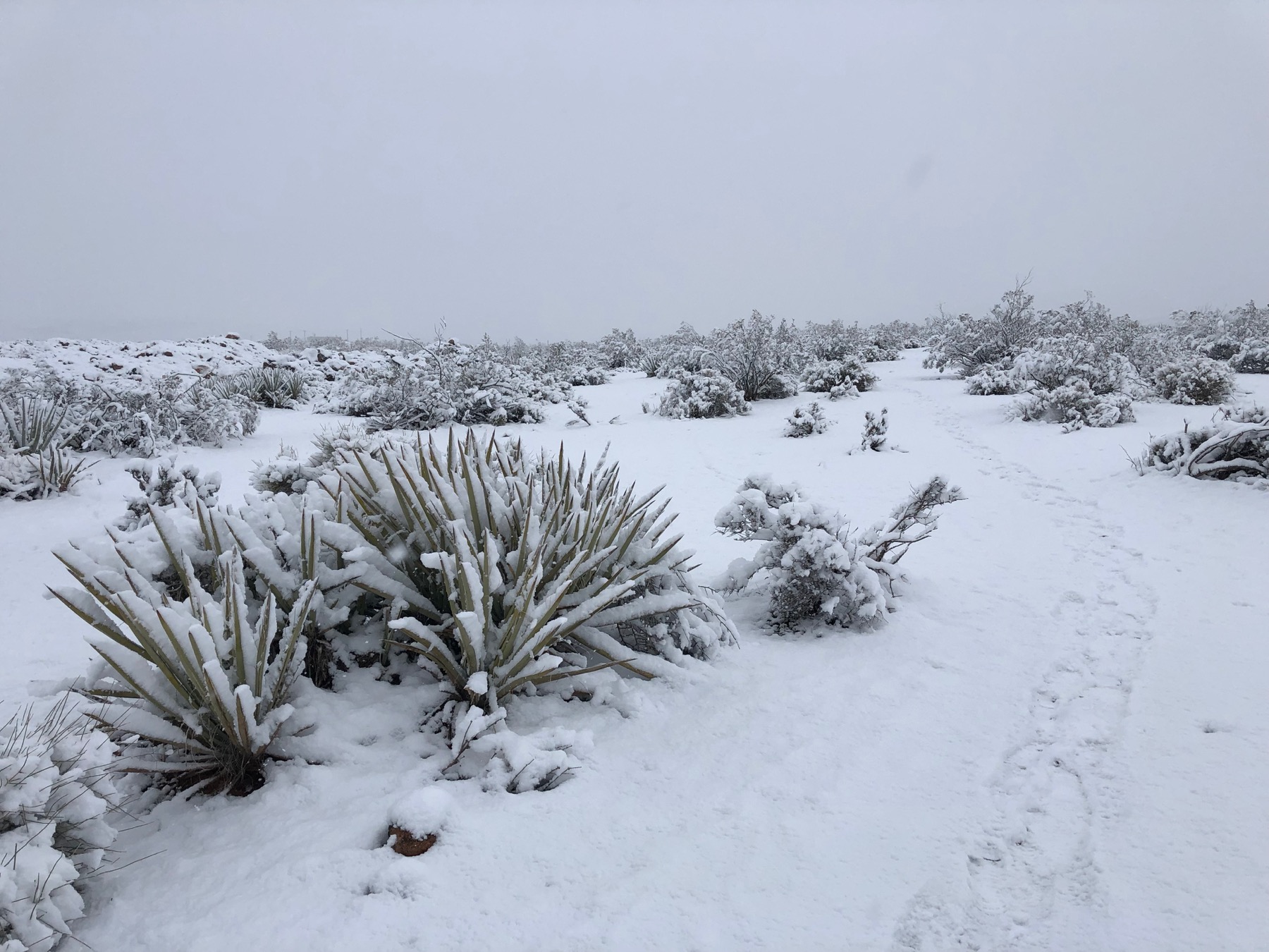
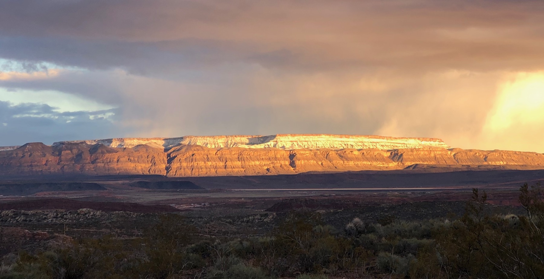
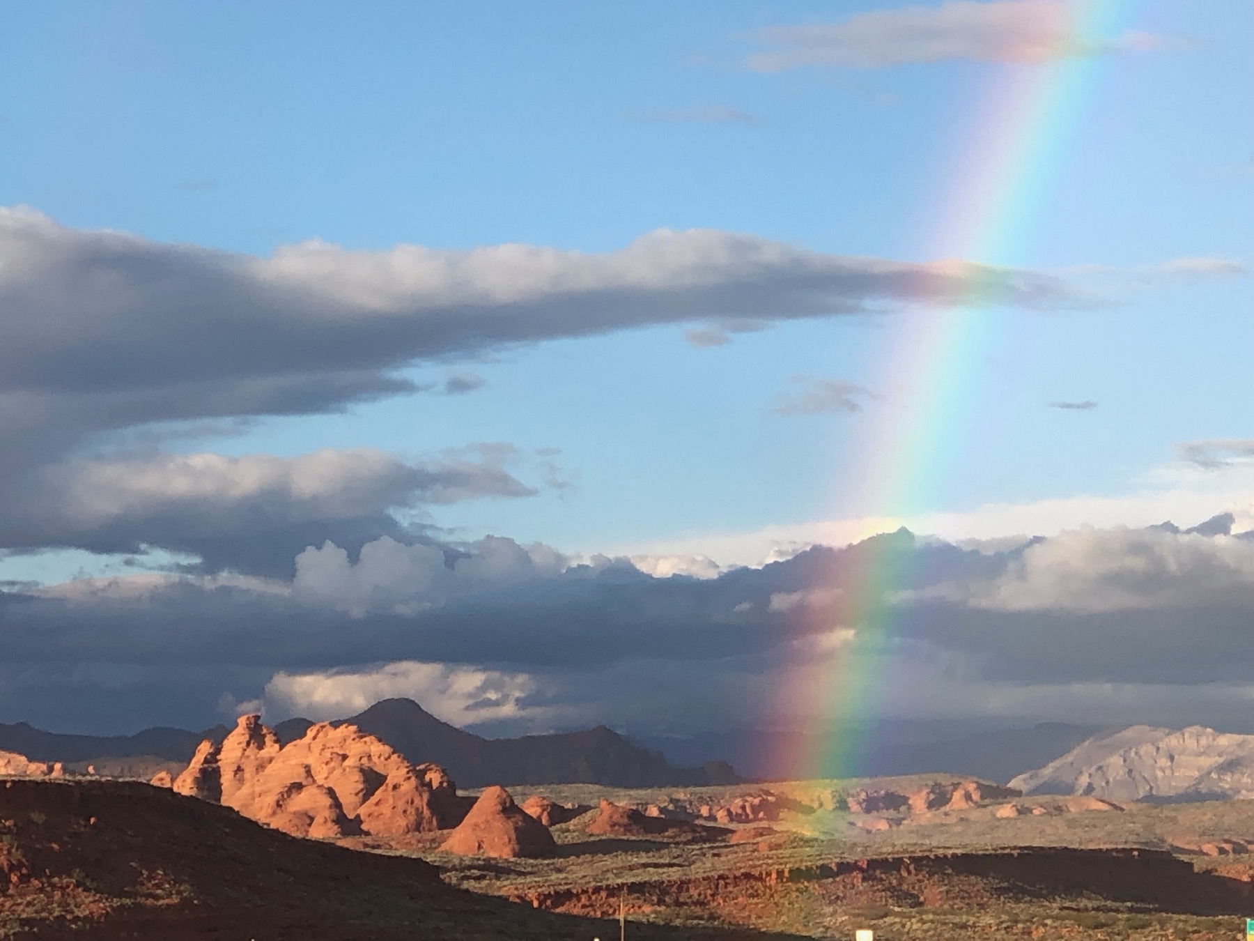
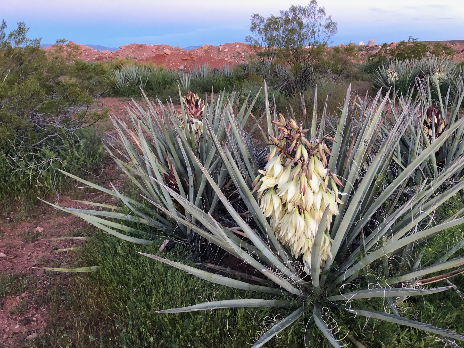
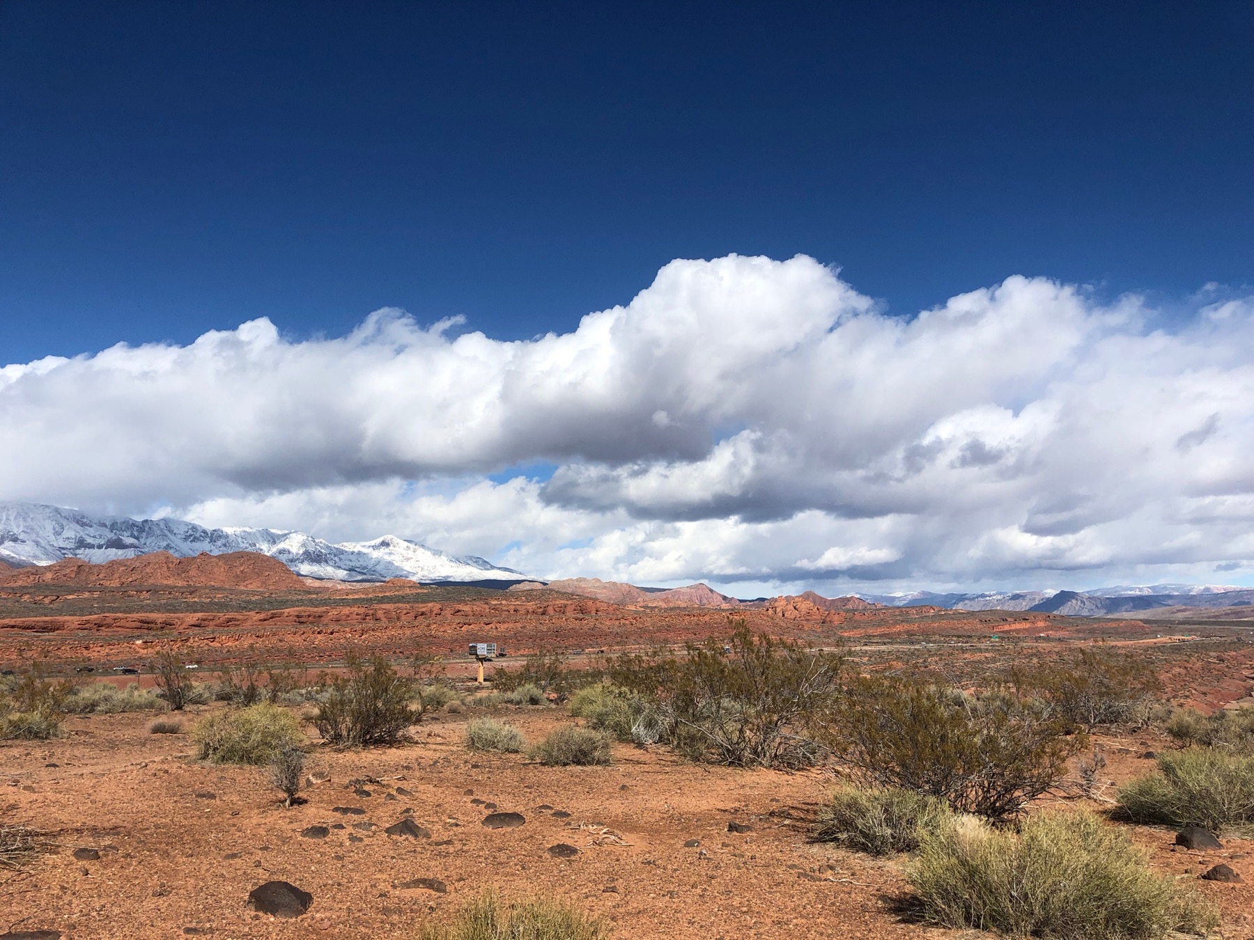
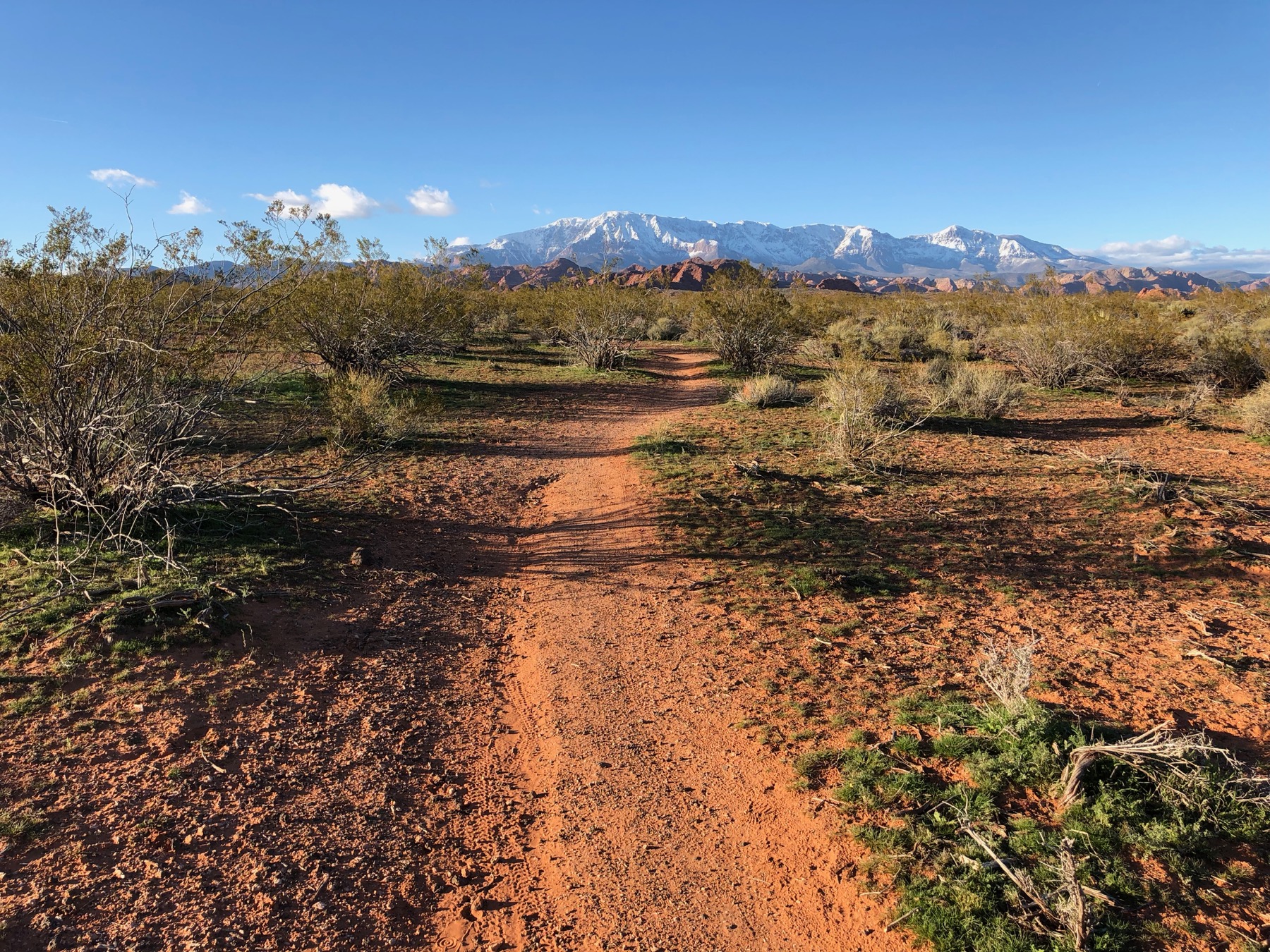
The Highland Loop Trail is an easy and very accessible route with gorgeous 360 degree views of the southern Utah landscape. The trail sits on top of a flat toped ridge thus giving it the “Highland” name. The area is teaming with chaparral and yucca as well as lots of rabbits and even the occasional coyote. The trail is one of the most accessible in the area since you can basically park on pavement at the trailhead and be on the loop within a handful of feet. As a result depending on the time of day you will probably run into other runners, mountain bikers, or neighbors that are taking their dogs on a walk. There are rumblings about this area getting developed, if that happens this gem of a trail will be lost forever, so don’t delay your visit to come try it out.
Starting at the North East corner of the parking area you will find a dirt trail heading primarily north. After about 200 feet on the trail you will come to a split this is the start of the loop. Wether you take the clockwise or counterclockwise direction you will end up back where you are at this point. There are a few other trails on top of the ridge but if you get turned around just know that the water tower at the end of the ridge (and Pine Valley Mountain) are to the north, and heading south on any trail on the ridge will get you back to the parking lot.
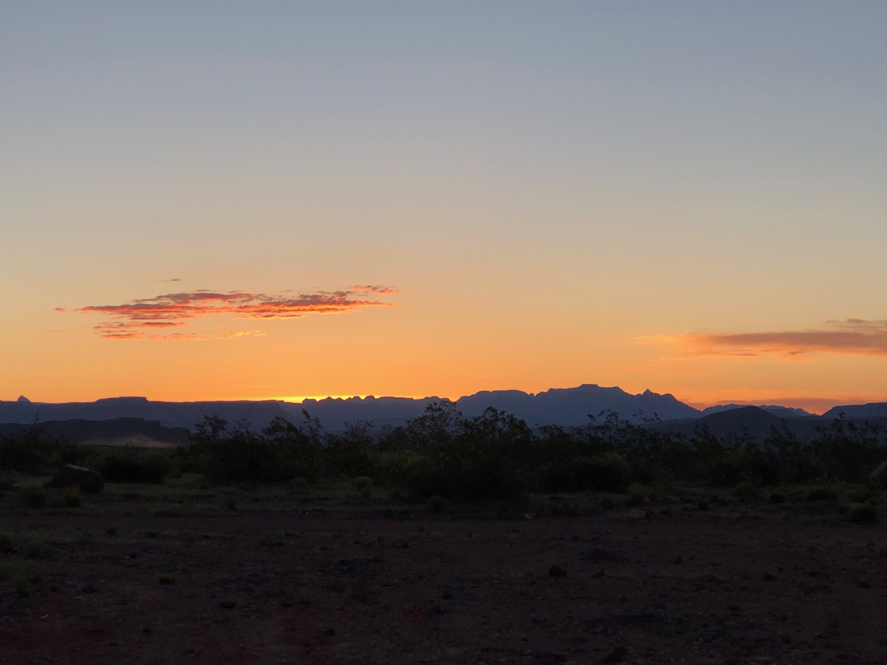
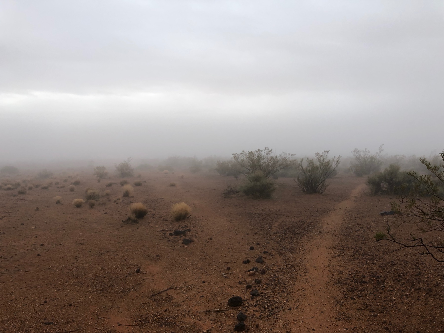
Heading in a clockwise direction you will meander a little bit on the mostly smooth dirt trail, only occasionally having its surface broken by a rock or two. Shortly after starting you should start to see three poles way up in the distance, those mark the upper end of the loop, so you can gauge how far along you are based on how close they appear. After approximately 0.3 miles you will come to a trail that has been blocked off with a line of rocks, bear to your right to stay on the loop shortly thereafter (a little less than 0.1 miles) you will come to a split in the trail, again bear to the right to stay on the loop. About another 0.1 miles later you will come to a wide dirt road or cleared spot that goes perpendicular to the trail you have been on, you will also be very close to the three metal poles mentioned previously, on the north side of the road/cleared area and west of your position, this is the top of the loop, hang another right on the cleared area and head east for about 50 feet then you will see another trail crossing the cleared area. Turn right onto the trail and start heading south. This part of the trail hugs the edge of the ridge pretty well, offering lots of beautiful sunrise photo opportunities. There are a few open more sandy areas on this side of the loop, but keep to the more worn parts of the trail or head straight across those sections and you will meet up with the trail again. This side meanders a bit as well, but after about 0.95 miles total you will be back where the trail split and you can go around again.
Trail Details
- Type: Loop
- Distance: 0.95 mi/1.5 km
- Difficulty: Easy
- Elevation: 3190 ft/973 m
- Google Maps Link to Trailhead: Click Here
Strava Route(s)
Highland Loop Clockwise Route
| Est. Moving Time | Distance | Elevation Gain |
|---|---|---|
| 00:11:56 | 1.07 | 93.68 |
| hours | mi. | ft. |

Trail Gallery